Surveying, Land surveying, 3D laser scanning


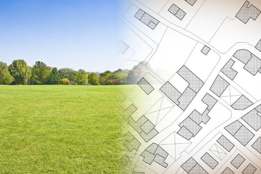
Topographical surveying
What is it?
Topographical surveying is topographic information
- acquisition of underground engineering networks,
- surveying,
- preparation and
- processing,
- as well as coordination with holders of engineering communications and the construction authority.
This results in a topographical plan. A topographical plan is displayed at a scale 1:250, 1:500 and 1:1000.
What is needed to prepare an offer?
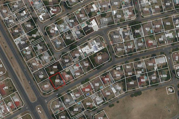
- Address or cadastre number of the object
- Local government decision on the need to develop a project (work task with a graphical annex)
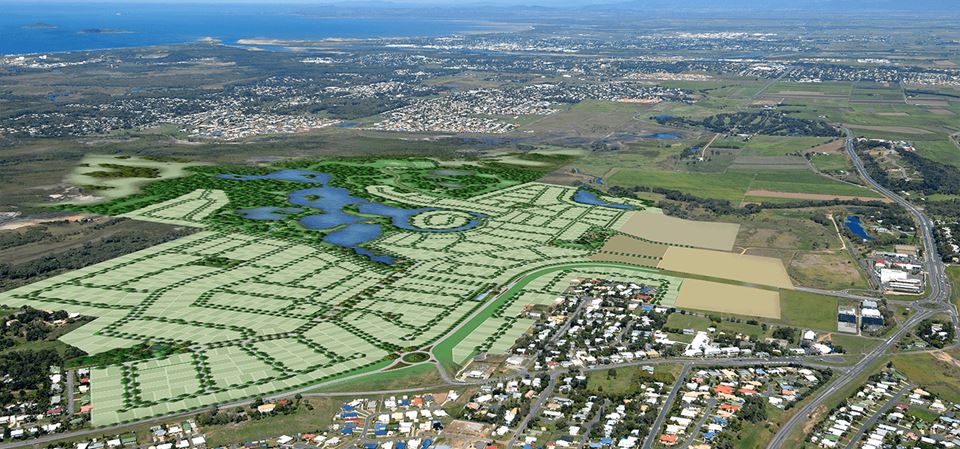
When is it necessary?
Topographic surveying should be performed in the cases, if it is necessary:
- to perform construction works – construction of engineering communications, structures, infrastructure objects, etc.
- to develop detailed planning and land use planning projects.
Are you interested in our services? We are here to help!
The full package of land surveying services from the commencement of construction to commissioning
Surveying and geodesy
Legal address: Eduarda Smiļģa Street 2A, Riga, LV-1048, Latvia
Reg. VAT No. LV40003783960
AS Swedbank, code: HABALV22
Konta Nr. LV72 HABA 0551 0117 1447 8
AS Citadele Banka, code: PARXLV22
Accounts No. LV03PARX0009432210002